

International Affairs in the Department of Geodesy
Our Networks & Partnerships

The Department of Geodesy is a member of the Association of Geographic Information Laboratories Europe (AGILE) and also maintains direct partnerships with selected universities and institutions abroad.
- AP University of Applied Sciences and Arts Antwerpen (Belgien)
- Universität Zagreb (Kroatien)
- Kauno Kolegija (Litauen) - only for BIP (Short-term), not a semester-long stay
- Bergamo University (Italien) - only for BIP (Short-term), not a semester-long stay
- Pontificia Universidad Catolica de Valparaiso, Chile
The Department of Geodesy actively encourages its students to gain international experience through study abroad programs or internships abroad.
If you have any questions regarding studying abroad or a practical training period abroad, Prof. Dr.-Ing. Daniel Czerwonka-Schröder s available as your primary contact in the Department of Geodesy. For further information—particularly regarding applications, financial aid, and organizational matters—please contact the International Office at Bochum University of Applied Sciences.
Practical phases / BA theses abroad
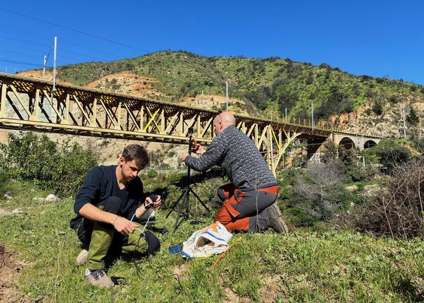
Oleksandr Medynets, a surveying student at Bochum University of Applied Sciences, completed his three-month internship at the Pontificia Universidad Católica de Valparaíso in Chile. The internship was made possible by a new partnership between the two universities.
The focus was on a research project to monitor a steel bridge in Valparaíso. As part of the project, Medynets compared an expensive professional laser scanner with a less expensive scanner he developed himself. Measurement data was collected while a train crossed the bridge to examine how the bridge deforms under load. Programs were then developed to analyze the large amounts of data.
In addition to his academic work, he gained international and intercultural experience, collaborated with Chilean students, and got to know the country and its culture.
![[Translate to English:] Mitarbeiter vor dem Head Office](/fileadmin/public/Die-BO_Fachbereiche/fb_g/Bilder_Internationales/Irland/About-Us-image-440x370.jpg)
![[Translate to English:] PC-Arbeitsplatz mit Punktwolke auf einem Bildschirm](/fileadmin/public/Die-BO_Fachbereiche/fb_g/Bilder_Internationales/Irland/Arbeitsplatz.png)
![[Translate to English:] Scan mit Z+F Imager 5010 C, 3 Targets je Scan](/fileadmin/public/Die-BO_Fachbereiche/fb_g/Bilder_Internationales/Irland/Rollbarer_Scanner_und_3_Targets.png)
![[Translate to English:] Gebäudeplan Fassadenansicht](/fileadmin/public/Die-BO_Fachbereiche/fb_g/Bilder_Internationales/Irland/Ergebnis_fuer_den_Kunden.png)
Mr. Rogosch successfully completed his 12-week internship at Murphys Surveys Ltd. in Kilcullen, Ireland, where he worked in the Laser Scanning department.
Murphys Surveys Ltd. offers a range of surveying services, including laser scanning, monitoring, Building Information Modeling (BIM), topographic surveying, and photogrammetry.
During his internship, Mr. Rogosch spent 2/3 of his time supporting experienced surveying engineers on-site and the remaining 1/3 of his time in the office, analyzing the data collected on-site. For detailed information about Mr. Rogosch's tasks during the internship, you can refer to his comprehensive internship report.
A presentation summarizing his internship experience is also available.
![[Translate to English:] Blick auf die Klagemauer und den Felsendom in Jerusalem](/fileadmin/_processed_/4/d/csm_IMG_20180702_182322080-EFFECTS_7e77291073.jpg)
![[Translate to English:] 5 x 5 m große Ausgrabungsfläche, die jeweils von rund 3 Personen bearbeitet wird](/fileadmin/_processed_/b/5/csm_IMG_20180702_110802600_c8be9b084a.jpg)
![[Translate to English:] Aufmessen eines Fundes](/fileadmin/public/Die-BO_Fachbereiche/fb_g/Bilder_Internationales/Israel/38000343_1808711909197346_252215481941884928_n.jpg)
![[Translate to English:] Bildaufnahmen für eine spätere 3D-Darstellung von Bauwerken](/fileadmin/_processed_/1/e/csm_IMG_20180705_062718274_0451504df6.jpg)
External content
YouTube Video
We need your consent to show you a video from YouTube here. You can display this (and therefore all other YouTube content on our website) after you have given your consent.
With your consent, personal data may be transferred to third-party platforms. You can find out more in our privacy policy . You can opt out at any time via the Cookie settings link at the bottom of the page.
The Department of Geodesy was approached with a request to document excavations in Israel using photogrammetry.
Mr. Wandert seized this opportunity to gain a fascinating interdisciplinary experience abroad.
A poster summarizing the excavations on Mount Zion is available.
For further details about the excavations, you can visit: http://neu.deiahl.de/zionsberg-jerusalem.html
Voluntary internship and bachelor thesis in Krakow
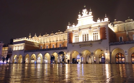
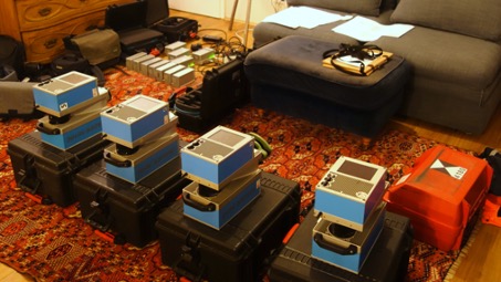
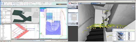
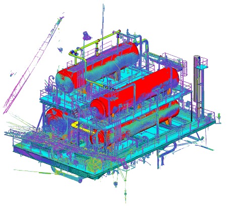
Mr. Rauh spent five months living and working in Krakow, the unofficial capital of Poland. His goal was twofold: to get to know the land and its people better and to gain experience in the field of laser scanning, ultimately using this practical experience to write his bachelor's thesis. So, why not take the leap across borders?
Due to previous stays in Russia and a certain affinity for Slavic culture (which is not unrelated to the excellent cuisine), Poland seemed like a natural choice. English is widely spoken and, even though the working language in the engineering office was Polish, everyone made a concerted effort to provide emails and instructions in English.
The core tasks were at the forefront of contemporary technology: laser scanning for building documentation, especially in the fields of monument preservation, industry, and real estate. This also involved modeling in CAD and BIM. Projects from all over Europe were handled, making English and German language skills highly sought after.
To support his financial needs, Mr. Rauh received an ERASMUS+ scholarship, thanks to the International Office of HS BO. This not only covered everyday expenses but also funded a Polish language course, bringing him closer to the culture and dispelling any preconceived notions.
![[Translate to English:] Ausflug ins Flugmuseum Bodø](/fileadmin/_processed_/5/5/csm_20171108_090859_1d1fe39bcc.jpg)
![[Translate to English:] Messung mit Tachymeter S7](/fileadmin/_processed_/0/3/csm_23698816_1715906598479844_453890646_o_b79316472c.jpg)
![[Translate to English:] Grenzmarkierung "Sørstrupen" im Schnee](/fileadmin/_processed_/2/0/csm_24271042_1733155540088283_192257092_o_0227fd8fa2.jpg)
![[Translate to English:] Kleine Auszeit am See](/fileadmin/public/Die-BO_Fachbereiche/fb_g/Bilder_Internationales/33191549_1971082766295558_609892709016010752_n_1_.jpg)
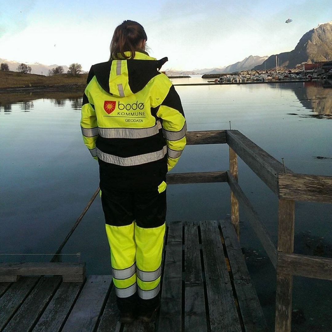
Ms. Gowert completed her 12-week internship in the surveying department of the Geodata Office of Bodø Municipality. Bodø is a city in Northern Norway.
The Geodata Office's responsibilities include the maintenance and management of maps and property registers, boundary verification, and other surveying services, as well as the control and maintenance of the land register.
For details about the tasks Ms. Gowert undertook during her internship, her reception by the Norwegian team, and her overall conclusion, you can refer to her comprehensive internship report.
A presentation summarizing her internship experience is also available.
Bachelor thesis "Survey and documentation of water and wastewater infrastructure on the Krumhuk farm, Namibia"
![[Translate to English:] GPS Referenzstation](/fileadmin/_processed_/5/7/csm_Namibia1_9fe3c42e6b.jpg)
![[Translate to English:] Leica GPS 1200 als Rover](/fileadmin/_processed_/4/3/csm_Namibia2_ac4b156636.jpg)
![[Translate to English:] Namibische Farm, Zugänge zu den unterirdischen Zisternen](/fileadmin/public/Die-BO_Fachbereiche/fb_g/Bilder_Internationales/Namibia5.jpg)
![[Translate to English:] Nahaufnahme des Leica GPS 1200 Empfängers](/fileadmin/public/Die-BO_Fachbereiche/fb_g/Bilder_Internationales/Namibia6.jpg)
The goal of this bachelor's thesis is the surveying and documentation of water and wastewater infrastructures on the Krumhuk Farm in Namibia. The results are intended to be utilized to make the farm more sustainable by reducing on-site drinking water consumption.
To collect measurement data, an assessment is conducted to determine the desired outcomes and accuracies. Ultimately, a GNSS measurement method is chosen as it is suitable for the local conditions in the field. To realize the trip, a work visa and a simple certificate of identity from customs are applied for and issued. Additionally, various transportation options are researched, leading to the decision to transport the measuring instruments on an airplane as part of checked luggage.
For more information about the task, how Mr. Friederich conducted the measurements on-site, and the results he obtained, you can find details here:
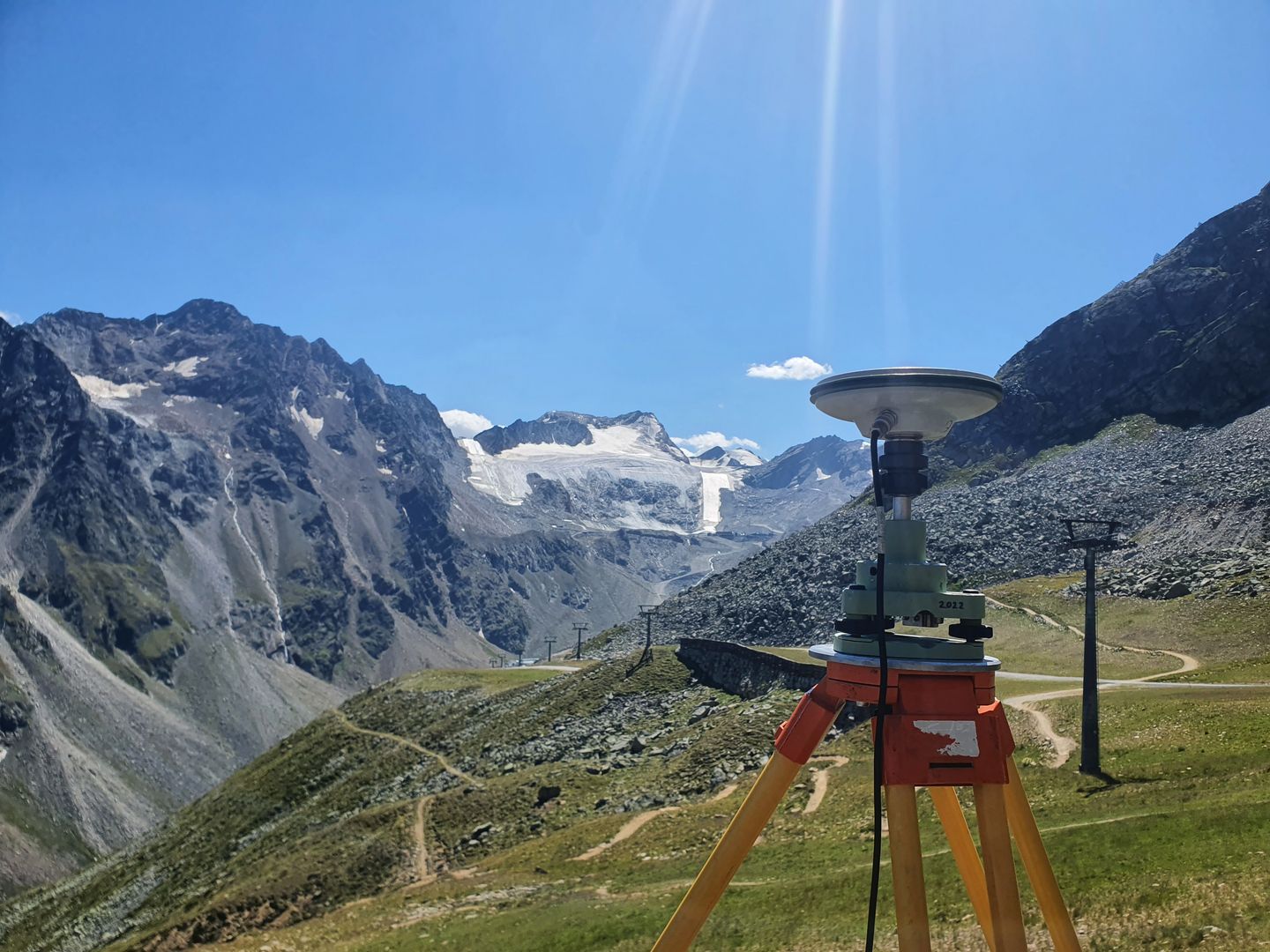
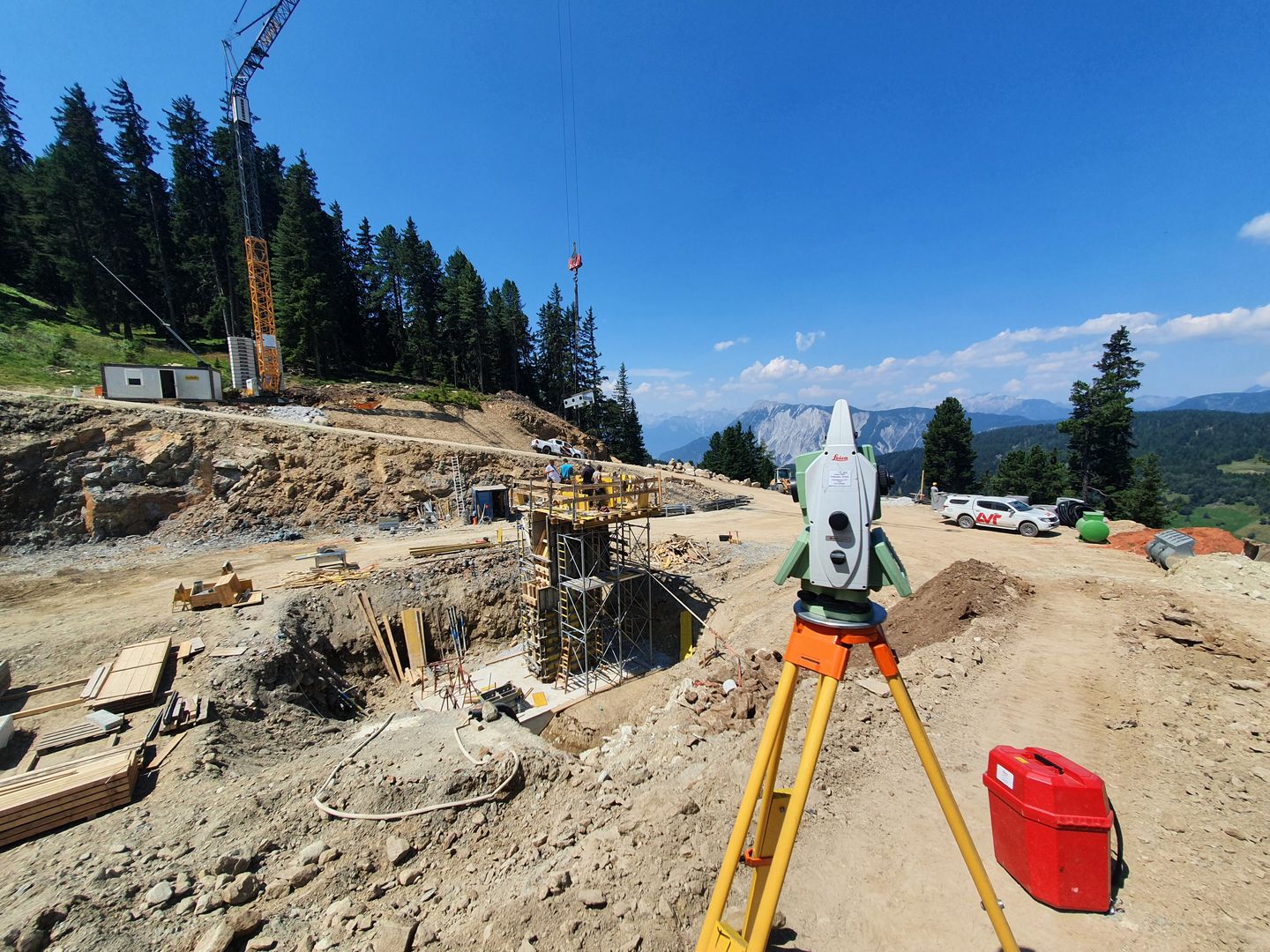
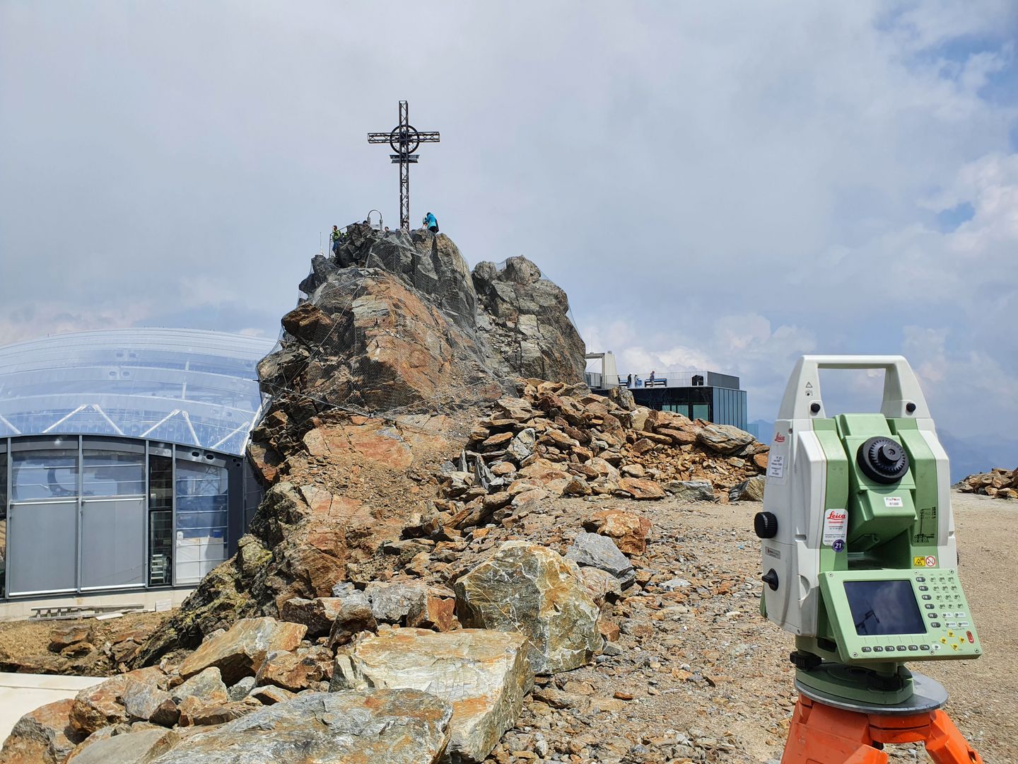
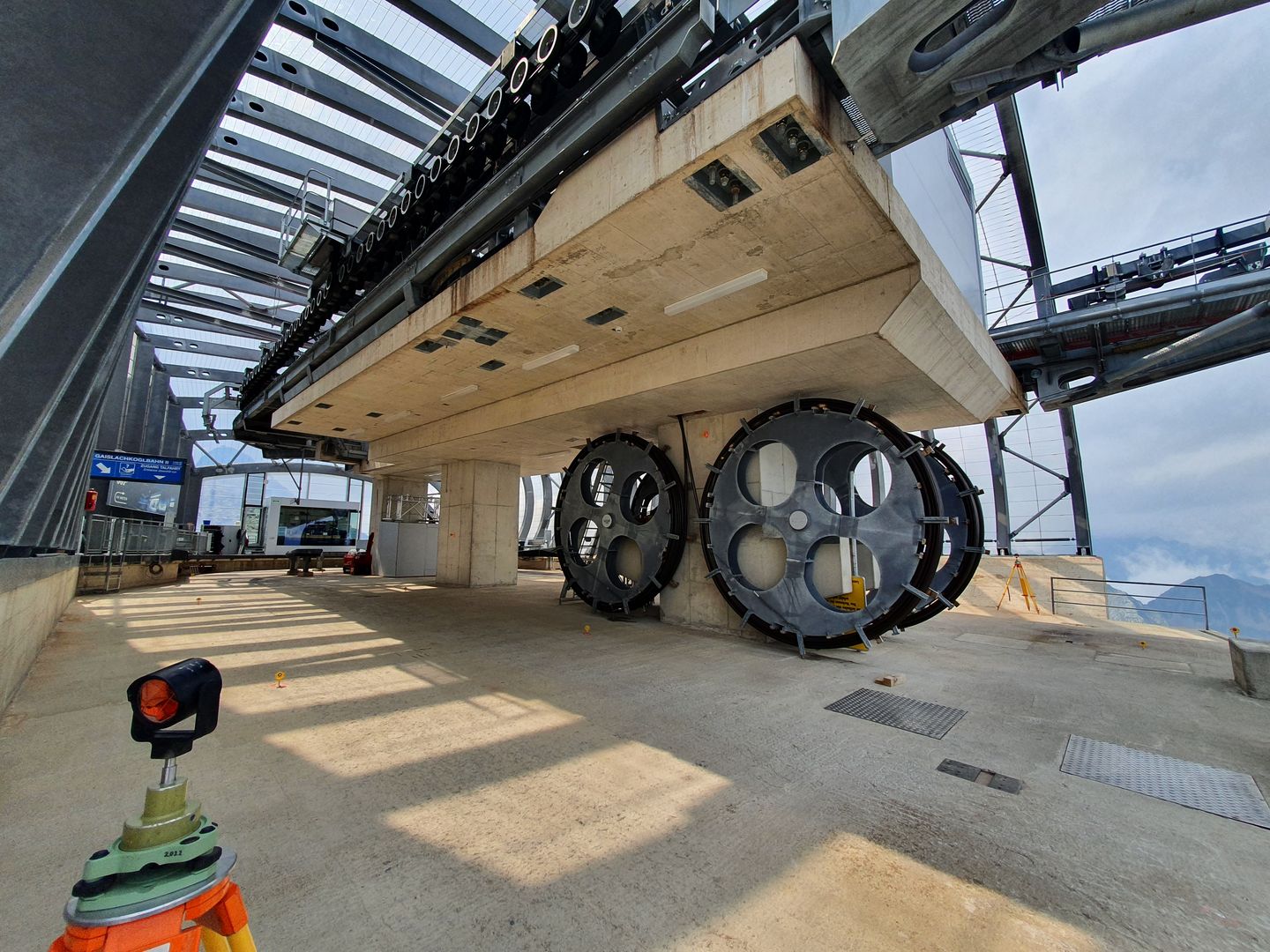
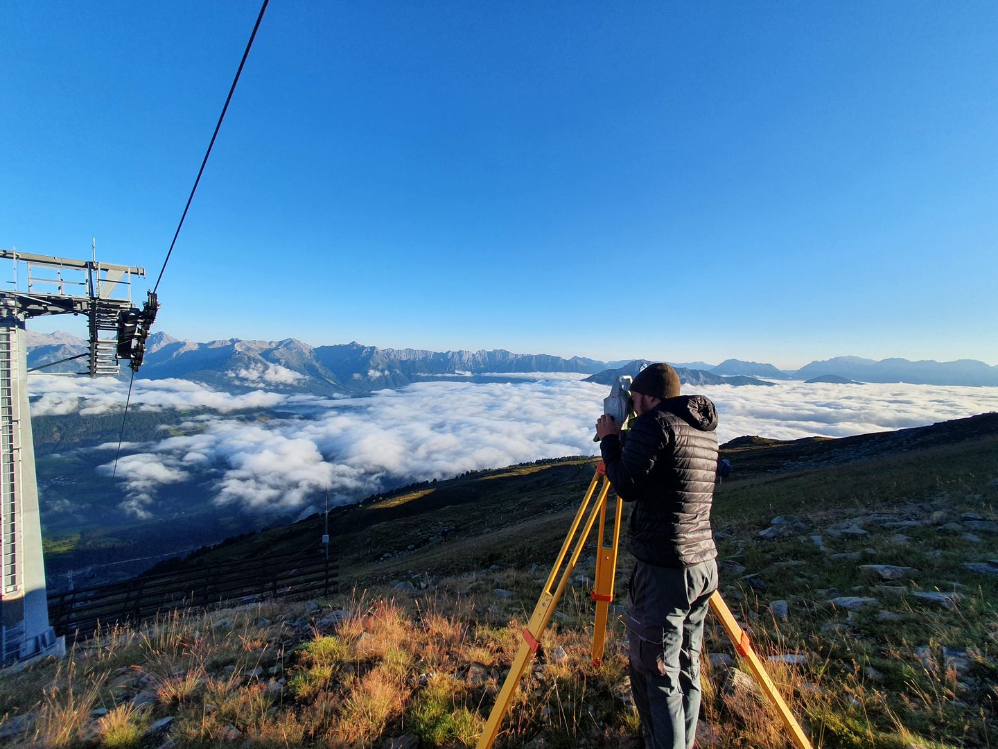
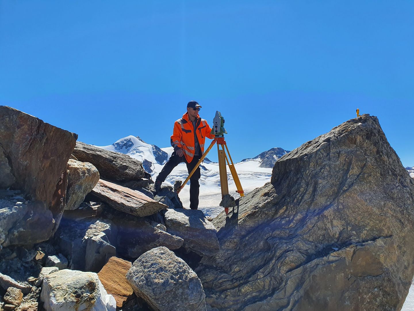
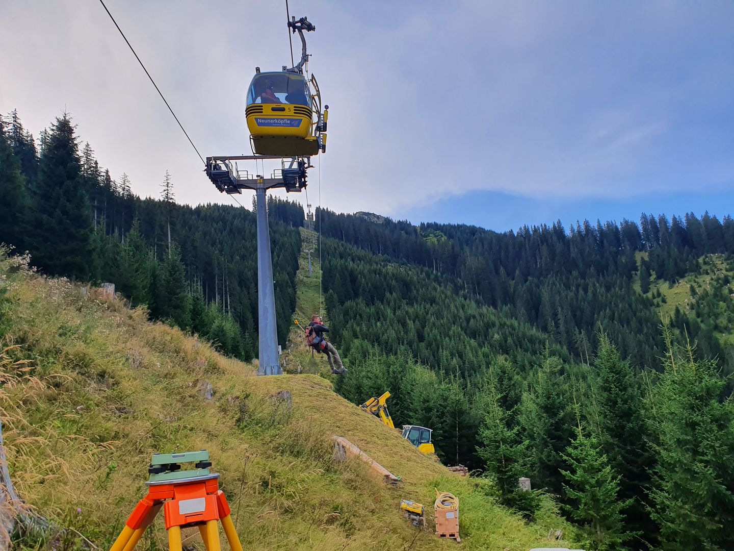
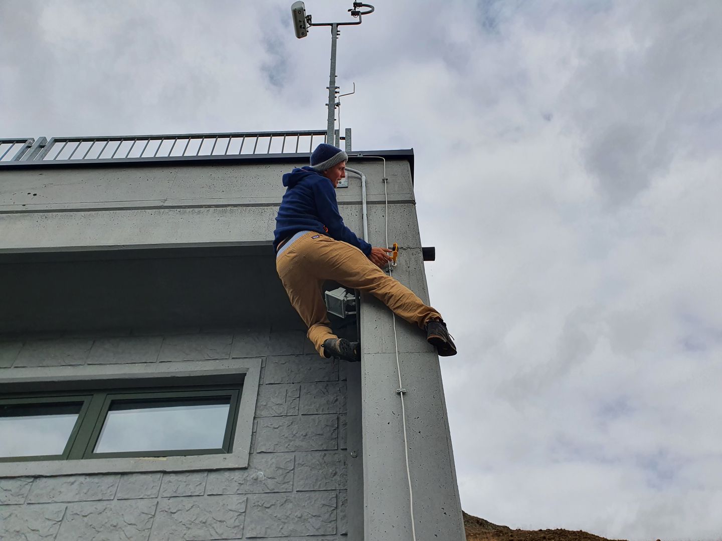
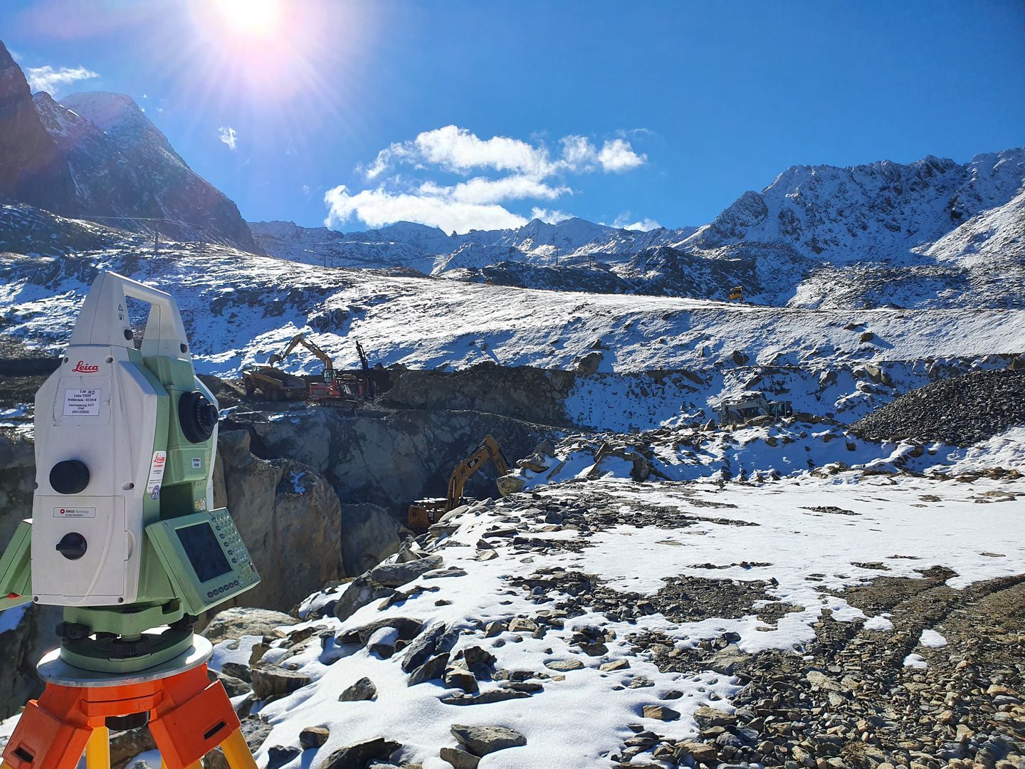
Mr. Schulte successfully completed his 12-week internship at AVT in Tyrol. Founded in 1970, AVT now employs around 100 employees at 11 locations. The headquarters in Imst has departments for cadastral services, CAD, innovation, photogrammetry, geoinformation, and engineering geodesy, where Mr. Schulte worked. The main tasks of the department include deformation measurements of cable cars according to Cable Car Regulations 2013, deformation measurements of reservoirs, automatic monitoring, and pass area/point measurements for ALS (Airborne Laser Scanning) flights.
During his internship, Mr. Schulte supported measurement teams in the construction of a new cable car and in control measurements of the basic networks of ski resorts. Towards the end of his internship, he also carried out his own project. For a week, he had to drive daily to the construction site of a new reservoir with a pump station at 2600m. Here, Mr. Schulte measured and evaluated the movement of a rock that had started to slide, ensuring the safety of the construction workers.
The pictures show the complexity of measurements in the mountains, including the extensive GNSS measurements and prism placements required.
You can learn about the specifics of Austrian land surveying, the approach to planning a new cable car, and an example of deformation measurement from Mr. Schulte's internship report.
A presentation summarizing his internship experience is also available.
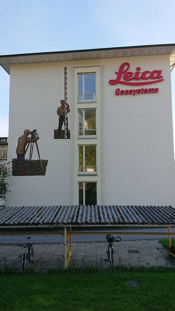
Mr. Pommer, despite being a KIA student with the City of Bochum, chose to use his practical training period to explore another company. In his case, he joined Leica Geosystems AG in Herrbrugg, Switzerland, to assist the Monitoring Solutions team. Mr. Pommer's primary task was to test the new software extensions, ensuring their flawless functionality. Additionally, he had the opportunity to support the local support engineers by reproducing customer error messages on his own computer.
You can find more information in this detailed internship report
The Department of Geodesy has participated in the following ERASMUS+ projects:
Geospatial data is the main catalyst in today's information society, where an unprecedented amount of geospatial data is being generated by various sensors such as smartphones, satellites and more. This data serves a growing number of scientific and practical purposes, all for the benefit of the world. The overarching goal is to collect, analyse, distribute, visualise and shape data for specific applications. At the heart of these processes are cutting-edge technologies that form the essence of geoinformatics. The geoinformatics ecosystem comprises three main groups of stakeholders: the creators of the ecosystem and an extremely wide range of users. While in developed countries the capacity and contribution of stakeholders to the ecosystem is balanced and mutually reinforcing, this balance is lacking in many less developed countries. The business sector of geoinformatics adapts to progress and technological advances, while the academic sector struggles to keep up with these changes and lags behind. This situation results in the academic sector failing to produce competent professionals equipped with the necessary knowledge and skills to integrate into the corporate sector. We are facing a scenario that will have serious consequences in the near future. Globally, digital issues are recognised as one of the six key areas of EU action in the Western Balkans, including the development of digital literacy as one of the actions under the Digital Agenda for the Western Balkans (EC, 2018).
In light of these findings, the GEOBIZ project aims to address part of this overarching issue by considering whether and how a model for collaboration between businesses and universities can be constructed. This model aims to: a) help the higher education sector to modernise in line with technological and conceptual changes in geoinformatics, and b) promote the development of geoinformatics courses that enable the business sector to offer new bachelor and master programmes. These programmes should effectively prepare students for the business environment and visibly contribute to its activities and development.
Spatial and Earth observation data are becoming increasingly pervasive. These data include information describing phenomena below, on and above the Earth, covering a wide range of topics such as road networks, rivers, soils and geological subsurface, buildings, land use and land cover, digital terrain models and more. To improve collaboration, access and use of these data, Spatial Data Infrastructures (SDIs) and Earth Observation (EO) platforms and services are typically developed by public agencies, possibly in collaboration with the private sector. While in Europe specific initiatives such as the INSPIRE Directive (Infrastructure for Spatial Information in Europe) and the Copernicus programme are driving and supporting these developments, initiatives and efforts are also underway in non-European countries, albeit sometimes at an early stage. A similar landscape is emerging in (North) Africa, including countries such as Morocco, Algeria, Egypt and Tunisia. National SDIs or similar initiatives are being established to promote the use of geospatial information (GI) and EO data. However, these infrastructures are not being developed in a vacuum. They are essential to support activities in various scientific and policy areas. Indeed, geospatial and EO data are processed and linked with other information to solve complex problems in areas as diverse as agriculture (e.g. minimising water and resource consumption), transport and mobility (e.g. improving accessibility to specific regions), and spatial planning and territorial management (e.g. sustainable development of urban areas). The use of geo-information technology in this context is not new, but the establishment and use of SDI and EO platforms and services is not yet common practice. In many regions, the knowledge, skills and competences to develop, maintain and use these infrastructures and related technologies are relatively limited.
In summary, university curricula in North Africa already include some elements of geographic information science, EO data and technologies. However, there is a need for systematic modernisation and development of these curricula to take into account newer approaches, techniques and the latest concepts in the collection, management and dissemination of geospatial and EO data for cross-border and thematic applications. SEED4NA will focus on improving existing curricula in higher education institutions in four North African countries, drawing on previous experiences in Europe, in particular lessons learned from various European projects such as BESTSDI (Developing SDI Curricula in Western Balkan Countries), giCASES (Application of case-based learning techniques in GI education), and the recently launched EO4GEO project (Curricula design using EO data for climate change, smart cities, and integrated applications). Building on these past and ongoing projects, SEED4NA is ready to create synergies and refine the applied methodologies in different ways.
The overarching goal of the BESTSDI project was to enhance the quality of higher education in the fields of Geographic Science and Technology, Spatial Data Infrastructure (SDI), and Geodesy. The project aimed to improve the relevance of education to the job market and society, as well as elevate the level of competencies and skills in higher education institutions. This was to be achieved through the development of new and innovative educational programs in the field of SDI. These broader objectives align perfectly with the priorities of capacity-building projects within the Erasmus+ program. The specific project objectives focused on the development, testing, and adaptation of new curricula, courses, learning materials, and tools in the field of SDI. In this way, existing curricula for Geodesy and Geoinformatics in academic institutions in the Western Balkans region were elevated to higher standards, recognizing the significance of spatial data for modern society and its development. By integrating the SDI concept and other modern concepts based on spatial data and information, the new SDI courses enable students to efficiently provide spatial data and services to SDI users. Concurrently, the project introduces SDI and related concepts into undergraduate and graduate programs at academic institutions with profiles recognized as SDI users. It raises awareness among students and professionals about the relevance of SDI and the benefits of well-organized geospatial data.
For more information: bestsdi.eu
Even though the project concluded in 2019, its activities persist. Read about the latest developments in the current newsletter.
In recent years, national spatial data infrastructures (SDI) have been developed throughout Europe to facilitate and coordinate the exchange and shared use of geodata. The long-term goal is not only to enable the use of geodata by public authorities, but also to involve users outside the public sector. The Erasmus+ project SPIDER (open SPatial data Infrastructure eDucation nEtwoRk) was initiated to highlight the benefits of geodata and to standardise training in the field of SDIs at European level. The aim is to establish a European platform that provides teaching and learning concepts for the integration of open spatial data infrastructures into existing curricula. In addition, the platform serves as a link between European universities and institutions that teach in the field of SDIs.
The project group consists of professors and staff from Bochum University of Applied Sciences, Delft University of Technology (Netherlands), Katholieke Universiteit Leuven (Belgium), Lund University (Sweden) and the University of Zagreb (Croatia). The next steps are planned in regular meetings and the results are documented in project reports. Current information about the project is published on www.sdispider.eu. In addition, a map application provides information on educational programmes on SDI throughout Europe.
The project team and all other supporters of the project hope to gain a better understanding of existing practices, policies and systems in education and training in European countries and beyond. The project also aims to promote a lively exchange on new, innovative concepts and topics and to strengthen the digital competence of academic staff in the field of SDI education in Europe.
Departmental Representative for International Affairs
Contact at the International Office


